These images were generated in support of a proposed research project for the Joint Hurricane Testbed (JHT). While the proposal was given a favorable review, the work was not funded. An effort is under way to generate these images internally through a student research project.
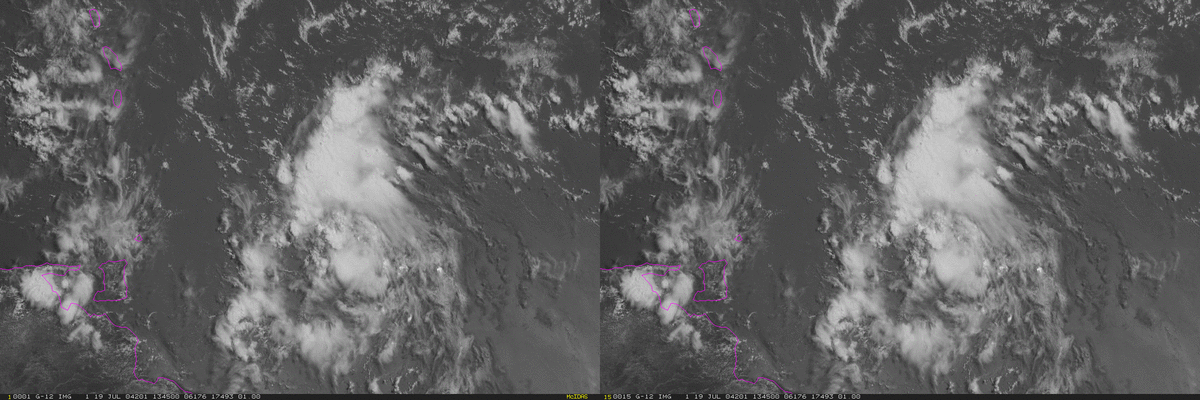
These images are from Monday July 19, 2004. They show a tropical wave east of the Windward Islands. The wave had considerable convection, some mid level circulation, but no low level center.
The TPC Tropical Weather Discussion was calling for heavy rain over Puerto Rico by Wednesday. The discussion is available here, please see red text for the Caribbean region.
The storm relative loop shows the convection being fed by air coming from the south and southwest, with little inflow from other sectors. As the wave moved westward, the land mass of South America cut off the moist flow from the south, and the organized convection died two days later.
Click on the links below to view animations in a Java applet. The "Earth Relative" images (left side of the sequence below) are traditional images with a fixed map reference, while the "Storm Relative" images (right side below) have the circulation held in the center of the image with the map reference moving underneath.