Dr. Brad Muller
Fog is a stratiform cloud and has little texture in visible imagery. It tends to conform to surface terrain features, filling up valleys and canyons, and sometimes taking on a dendritic appearance in mountain valleys. It is reflective and shows up well in visible imagery (below left) in contrast to less reflective land surfaces. On the other hand, it often can hardly be distinguished in IR (below right) because its temperature is close to that of the surface.
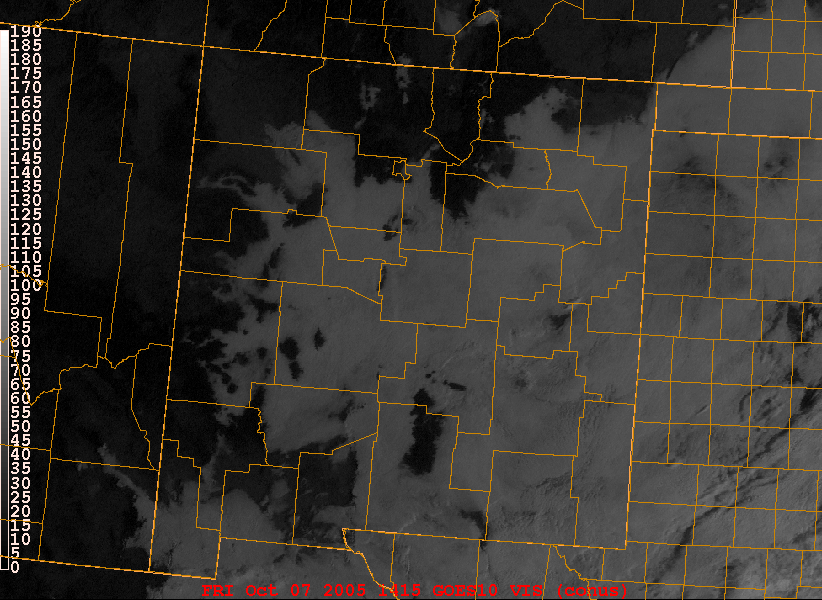
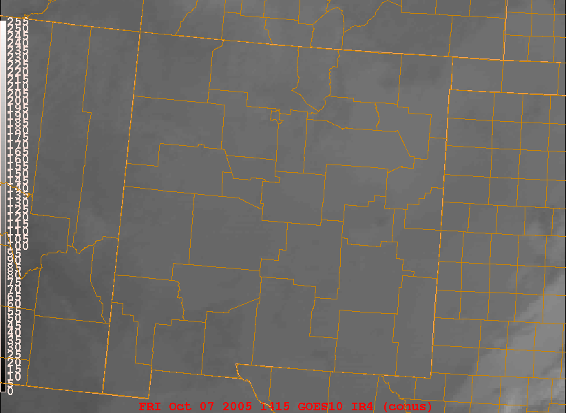
On the left is an early morning VIS image of New Mexico while the image on the right is a simultaneous IR.
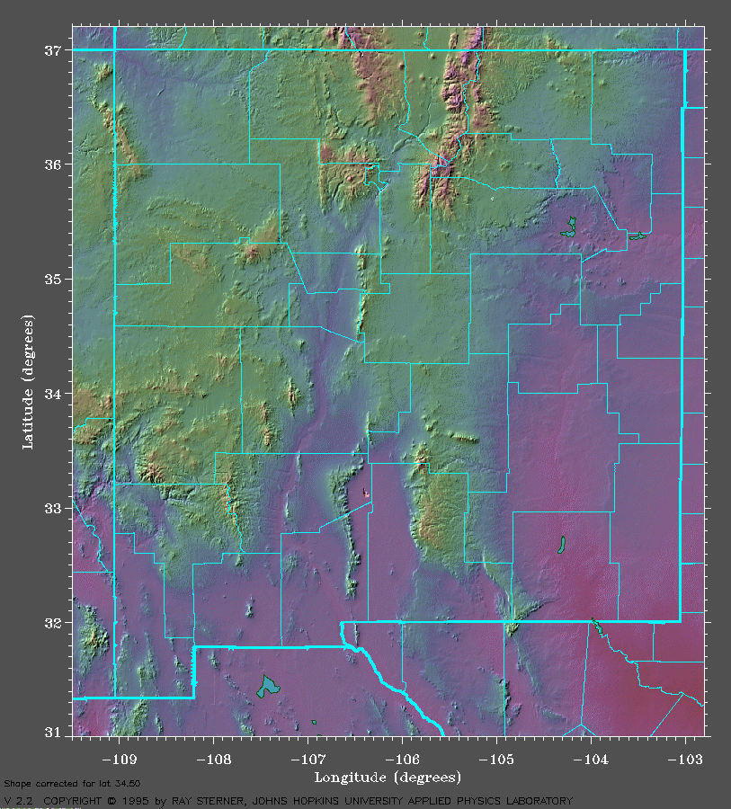
By comparing the visible image with the terrain map below, we see that fog is generally found in the valleys, canyons, and lower lying terrain, but not on the higher terrain.
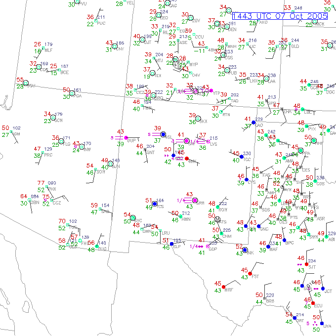
The following surface map confirms that there was fog in New Mexico:
As the sun comes up and heats up the ground areas of fog can often be seen to shrink by burning off around the edges first. Note cumulus clouds forming over the raised heat source of the mountains as the sun becomes higher, warming up the mountain slopes. As the clear land surfaces heat up while the fog temperature itself changes little, contrast increases in the IR image and the fog becomes more apparent.
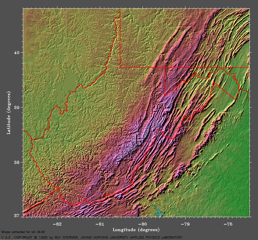
Appalachian fog visible image loops. Note the dendritic patterns as the fog fills up the canyons and how in some places it lines up with the southwest-northeast oriented valleys and ridges. The fog burns off during the course of the morning.
Appalachian fog IR image loops. Note that the fog barely shows up in the IR because their cloud-top temperature is very close to that of the nearby land surfaces.