Geographical features best seen in cloud-free VIS imagery during daylight hours. Can also be seen in cloud-free IR imagery when there is a spatial temperature difference that makes them show up.
Features show up when there is contrast in the imagery.
Contrast in VIS magery is due to albedo differences of different surfaces.
Contrast in IR imagery is due to temperature differences (could also be due to emissivity differences, but we will ignore those).
Albedo is relative brightness of a surface based on how reflective it is, usually referring to electromagnetic radiation in the visible part of the spectrum--depends on physical characteristics such as composition, color, vegetation or ground cover, land use, presence or absence of snow and ice.
For albedos of common cloud and land surfaces, see Table 1.1, p. 5 in your textbook. For example, dry, sandy soil has an albedo range of 25-45%. Ocean surfaces have an albedo of 7-9%.
Features that are smaller than the resolution of the visible satellite channel cannot be seen. The GOES visible channel has a nominal resolution of 1 km.
GOES-East Visible
GOES-West Visible
Coastal Features
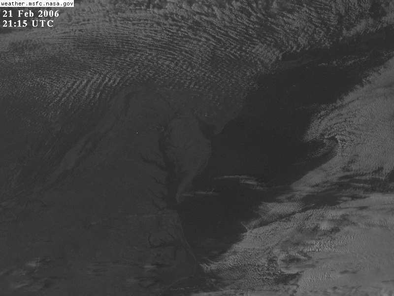
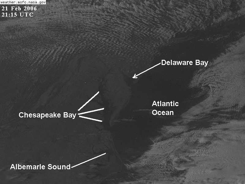
Ocean almost always looks darker than land owing to its very low albedo. Therefore, coastlines are among the most easily identifiable geographic features in satellite imagery. Land surfaces will typically appear somewhat lighter than the adjacent ocean.
Inland Water Features
Lakes and Rivers also show up well on satellite imagery in cloud-free areas.
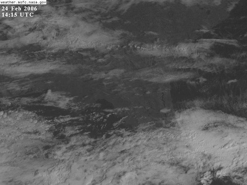
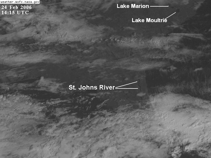
Some rivers and lakes are too small to show up on visible satellite imagery. Keep in mind that the nominal resolution of the GOES visible channels is 1 km, and that is the highest resolution it can achieve at the satellite subpoint. Locations not directly under the satellite will have even lower resolution.
Even though a river may be less than 1 km across, it may still show up in the satellite imagery. The low albedo of the river itself combined with the low albedo of vegetation in the fertile floodplain around the river often enables it to be clearly identifiable as a long, narrow, winding, dark feature in the visible (see St. John's River above).
Terrain Features
Heavily vegetated and wooded areas have low albedo and look dark on satellite imagery. Since mountainous regions often are heavily forested, they often look darker than surrounding areas on visible satellite imagery.
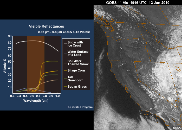
Some locations contain few clouds but many variations in land surface and vegetation albedo, like northern Mexico and the southwestern U.S.
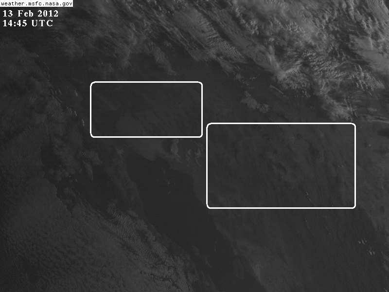
Snow surfaces