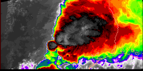
Texas flood producing thunderstorm


Basics of Remote Sensing from Satellite

In this module, we will be describing the basics of how to interpret the satellite imagery that is available on the internet from many sources. We start out in chapter 1 by reviewing the basic partitioning that radiation undergoes in the atmosphere, such as emission and reflection. From there, we will go into the concept of emissivity and how that helps in the interpretation of satellite imagery. In chapter 3, we go into detail on why satellites have instruments sensitive to specific regions in the electromagnetic spectrum, so that various aspects of the Earth's atmosphere can be detected. Chapter 4 concludes the tutorial by introducing the concept of enhancements and discussing the various types of enhancements that improve the viewing quality of a satellite image.


Table of Contents

  1. Partitioning of radiation.
  2. Emissivity.
  3. Satellite imagery and the spectrum.
  4. Enhancements.
  5. Glossary.
  6. References.


This tutorial was developed by Jim LaDue in 1994-95 and Ken Pryor in 2001-03
For information, contact:
Ken Pryor
NOAA/NESDIS Operational Products Development Branch
Room 712, NOAA Science Center
Camp Springs, MD 20746

Phone: (301)763-8204

Important: The materials and content provided here are the property of NOAA/NESDIS. You may use these materials provided you give credit to NOAA/NESDIS.