Severe weather can be recognized in doppler radar using either velocity characteristics or reflectivity echo morphology. In this section we will focus on reflectivity signatures.
Hail: In the following link, large hail occurred in the red or greater areas. Very high reflectivities usually are associated with hail.
Large Hail--NWS Louisville
LEWP: Line Echo Wave Pattern--a bend within a relatively linear echo feature that points back (usually to the west). It may be indicative of developing rotational winds in a thunderstorm; rotating thunderstorms also are known as supercells, and are associated with a mesocyclone which is the parent storm of a tornado.
Line Echo Wave Pattern (LEWP)
LEWP, Virginia
LEWP over Arkansas (Figure from NWS COMET program)

Bow Echo: The bow echo is a forward bulge (usually to the east) in a relatively linear echo feature. It is a sign of very strong low-level straight-line winds, and may indicate the presence of a downburst or microburst. Because of the wind shear associated with the very strong straight-line winds, rotation can develop at the northern and southern tip of bow echoes; therefore these locations are sometimes associated with tornadoes. However, the bow echo is primarily a straight-line wind signature.
Note: the online "literature" seems to contain some confusion between the bow echo and the LEWP. They may even both be present on different parts of a linear echo. Typically, however the "bent-back" LEWP is associated with mesocyclone rotational winds, while the bow echo is associated with straight-line winds.
Bow Echo--NWS Louisville
Bow Echo Sequences
Bow Echo/LEWP with Tornado--NWS Louisville
Daytona Spring 2001 Bow Echo Windstorm
Hook Echo: A thin, curving , extension of a very high reflectivity feature indicative of mesocylonic rotation and potentially tornadoes. This was the "original" tornado signature back before doppler weather radar!
Hook Echo--UMich.
Hook Echo--Splitting Supercell Storm--NWS Louisville
Hook Echo--Oklahoma City Tornado--Dr. Jack Beven
Leading edge gradient: A strong gradient of reflectivity on the edge of an area of strong echoes. It is indicative of a rapid transition between updrafts (weak or no echoes) and downdrafts (intense echoes where precipitation is reaching ground) and is a sign that the storm is severe. There can be much turbulence associated with the close proximity of the up- and downdrafts.
WER: Weak echo region.
BWER: Bounded weak echo region.
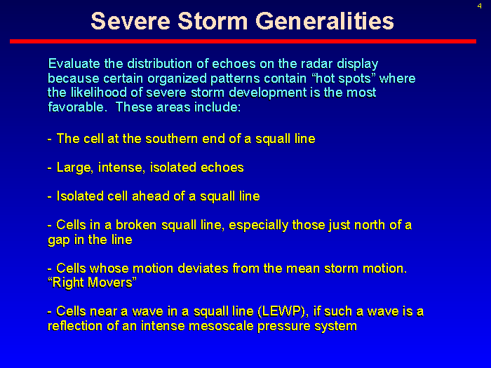
The following slide from NWS Milwaukee summarizes some reflectivity considerations for assessing radar echos for severe weather: