Color Enhancements:
- Fog Depth (Graph, Image, Description)
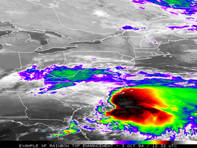
- "Rainbow Top" IR enhancement

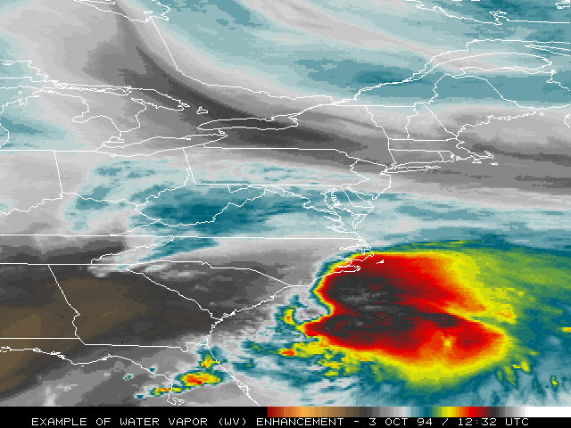
- "Rainbow top" WV enhancement
- CC Graph
 CC Image
- BD Graph
 BD Image
- EC Graph
 EC Image
- HD Graph
 HD Image
HD Description
HD Image
HD Description
- HE Graph
 HE Image
HE Description
HE Image
HE Description
- HF Graph
 HF Image
HF Description
HF Image
HF Description
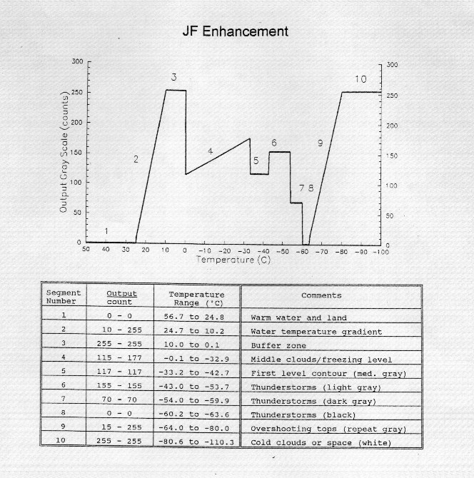
- JF Graph
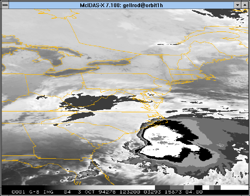
 JF Image
JF Description
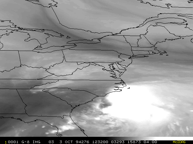
JF Image
JF Description
- JJ Graph
 JJ Image
JJ Description
JJ Image
JJ Description
- LC Graph
 LC Image
LC Description
LC Image
LC Description
- MB Graph
 MB Image
MB Description
MB Image
MB Description
- MD Graph
 MD Image
MD Description
MD Image
MD Description
- TA Graph
 TA Image
TA Description
TA Image
TA Description
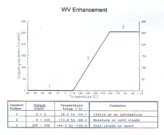
- WV Graph
 WV Image
WV Description
WV Image
WV Description - ZA Graph ZA Image
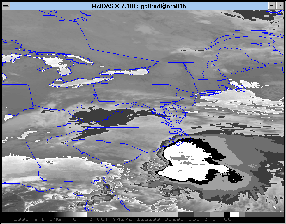
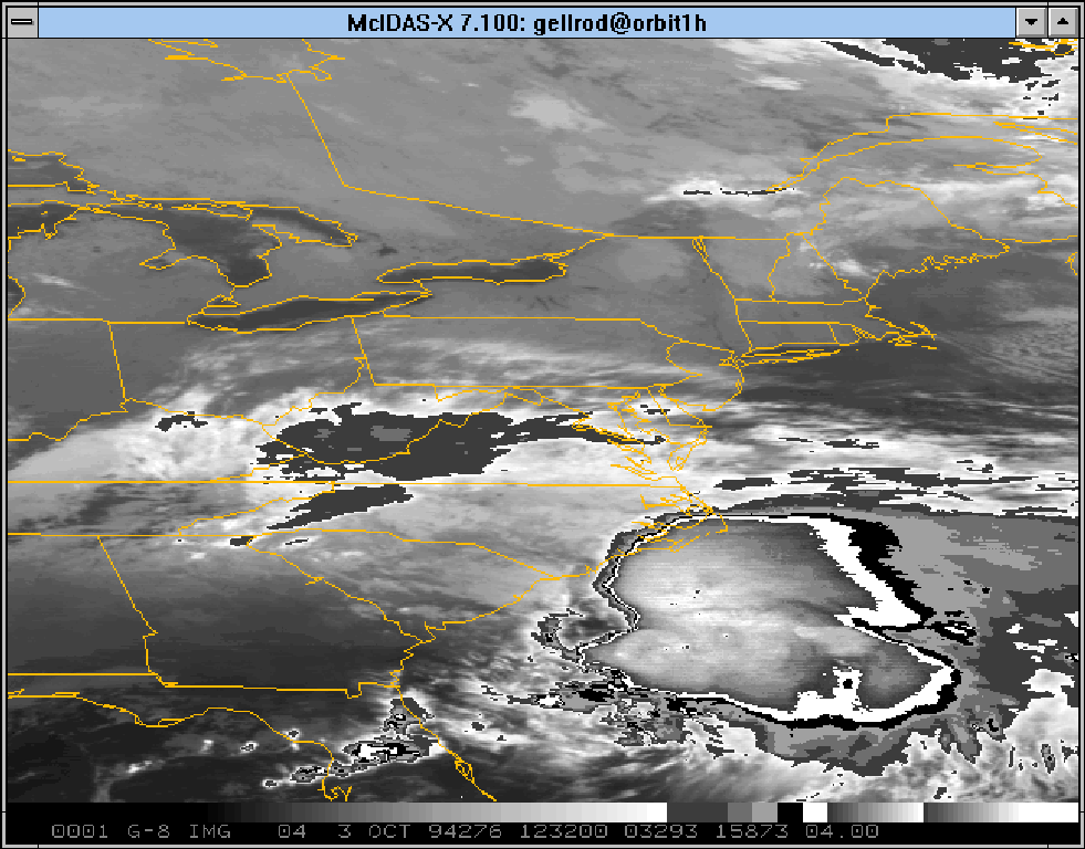
- Visible
For questions or comments, please contact: Gary Ellrod