Wx 365 Satellite
and Radar Weather Interpretation
Dr. Brad
Muller
Exam 1 Material:
Notes
on Fundamentals of Remote Sensing
Review
of Logarithms
Planck
Function Graphs (Spreadsheet)
Making
Full Color Imagery in McIDAS-V
Exam
1 Study List
Exam 2 Material:
Request
a University Linux Computer Account
You need to have a Linux computer
account to use ERAU Weather Center satellite and map drawing meteorological software packages (GARP,
McIDAS, IDV, NMAP, NSHARP, etc). You only need to do
this if you DO NOT already have such an account.
Geographic
Features in Visible and IR Satellite Imagery
GARP
Procedures for Question # 3 and Saving Files
Fires
in OK and TX--Vis, Radar, Near IR
Sonoma,
Napa County, California Fires, October, 2017
Vis.--Smoke in Volusia County Mar
2, 2013
Radar
Reflectivity Smoke in Volusia
County Mar 2, 2013
Distinguishing
Cloud Types in Sat. Imagery
Comma
Clouds
Fog
in Satellite Imagery
Sea
Breeze and Sea Breeze Fronts
Mountain
and Lee Waves
Cloud
Streets
Open
Cell Convection
General
Circulation
Ridge
Amplitude
Transverse
Bands
Thunderstorm
Outflow Boundaries
Overshooting
Thunderstorm Tops
Island
Effects
Coastal
Eddies
Hurricanes
------------------------------------
A
Swirl in the Clouds Near Santa Cruz Island--Muller and
Herbster, Journal of Operational Meteorology.
An
Unusual Aerial Photograph of an Eddy Circulation in
Marine Stratocumulus Clouds--Muller, Herbster, and Mosher,
Monthly Weather Review, February, 2015.
AGU
Fall Meeting 2013 Presentation--presentation given at
the session on Research on Improving Weather Prediction for
Mountain Terrain II.
Eddy
Animation--Grover Beach_9-12-2006 with Surface
Data
--------------------------------------------
Exam 3
Material:
A
Brief History of Weather Radar
Radar
Types and Components
NEXRAD
NEXRAD
Volume Coverage Patterns (VCPs)
NEXRAD
Products
GARP
Radar Products
The
Radar Equation
Radar
Bright Band
Ground
Clutter
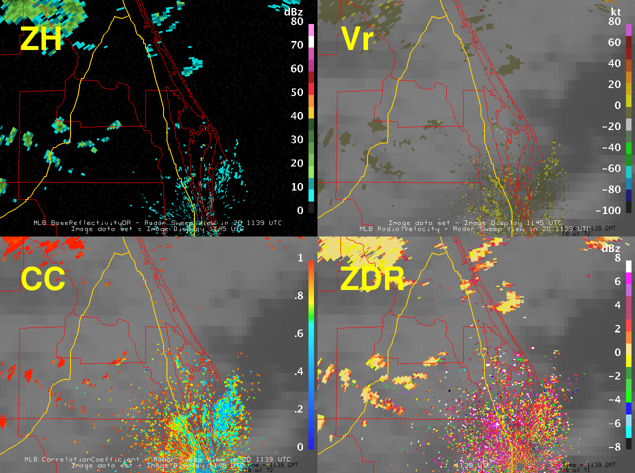
Severe
Wx Reflectivity Signatures
VIL
(Vertically
Intergrated Liquid)
Non-Precipitation
Echoes
Roost
Ring Animation
Range
Folding
Doppler
Velocity
Velocity
Aliasing
Doppler
Radar Formulas
Radar
Summary Chart
NWS
Milwaukee Radar Presentation, Part I--Radar Fundamentals
NWS
Milwaukee Radar Presentation, Part II--Radar/Storm
Interpretation
NWS
Milwaukee Radar Presentation, Part III--TVS and TDA
(Tornado Detection Algorithm)
First
WSR-88D Detection of an Anticyclonic Supercell with
Anticyclonic Tornadoes (Webpage)
First
WSR-88D Detection of an Anticyclonic Supercell with
Anticyclonic Tornadoes (Journal Article)
The
Future of Weather Radar I--Polarimetric Radar
NEXRAD
Dual
Polarization
Training
Options--NWS Warning Decision Training Division
NEXRAD
Dual Polarization OVERVIEW--NWS Warning Decision Training
Division
The
Future of Weather Radar II--Phased Array Radar
Overview
of Phased Array Weather Radar